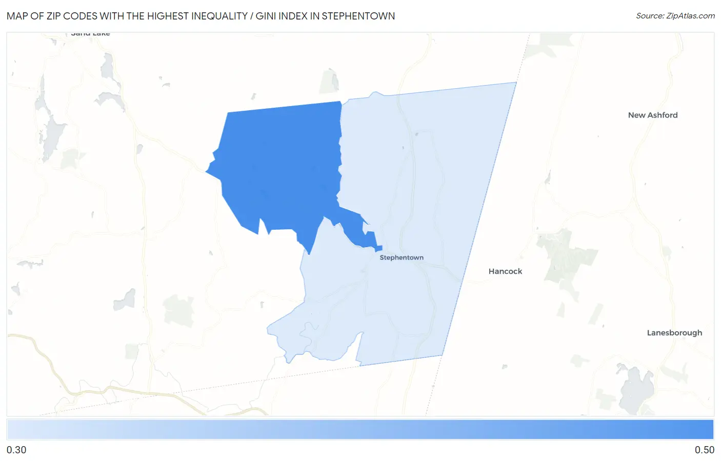
Zip Codes with the Highest Inequality / Gini Index in Stephentown, NY
RELATED REPORTS & OPTIONS
Highest Inequality / Gini Index
Stephentown
Compare Zip Codes
Map of Zip Codes with the Highest Inequality / Gini Index in Stephentown
0.37
0.40
Zip Codes with the Highest Inequality / Gini Index in Stephentown, NY
| Zip Code | Inequality / Gini Index | vs State | vs National | |
| 1. | 12169 | 0.40 | 0.51(-0.113)#1,074 | 0.48(-0.082)#19,451 |
| 2. | 12168 | 0.37 | 0.51(-0.140)#1,321 | 0.48(-0.109)#24,397 |
1
Common Questions
What are the Top Zip Codes with the Highest Inequality / Gini Index in Stephentown, NY?
Top Zip Codes with the Highest Inequality / Gini Index in Stephentown, NY are:
What zip code has the Highest Inequality / Gini Index in Stephentown, NY?
12169 has the Highest Inequality / Gini Index in Stephentown, NY with 0.40.
What is the Inequality / Gini Index in New York?
Inequality / Gini Index in New York is 0.51.
What is the Inequality / Gini Index in the United States?
Inequality / Gini Index in the United States is 0.48.